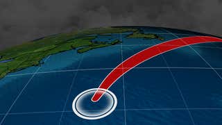
Threats From Ernesto Impacting US Coastal Areas
Disastrous flooding has inundated portions of the Houston metro area after more than two feet of rain fell in just 24 hours.
These before and after images illustrate how high the floodwaters have risen,inundating homes,businesses and interstates.
(HURRICANE CENTRAL:The Latest News on Harvey)
Downtown Houston at the Buffalo Bayou

(Before image:Google / After image:The Associated Press/LM Otero)
Travis Street in Houston at the Buffalo Bayou

(Before image:Google / After image:The Associated Press/LM Otero)
(Before image:Google / After image:The Associated Press/LM Otero)
Buffalo Bayou Flooding Near Interstate 610 East of Houston

(Before image:Google / After image:MARK RALSTON/AFP/Getty Images)
Interstate 610 at Brays Bayou

(Before image:Google / After Image:Mark Sudduth/UStream)
(Before image:Google / After Image:Mark Sudduth/UStream)
Interstate 45 North on the White Oak Drive Overpass

(Before Image:Google / After Image:Cristina Prints/Instagram)
(Before Image:Google / After Image:Cristina Prints/Instagram)
White Oak Bayou at Durham Street Bridge

(Before Image:Google / After:Terry Austin/Instagram)
Interstate 610 Frontage Loop at West Park
Circled in red is the location of the webcam embedded in the image to give perspective on how high the water rose.

(Before Image:Google / After Image:Houston TranStar)